I was sitting on a rusted metal stool in a narrow alleyway in Taipei last spring, the scent of star anise and scorched chili oil clinging to my clothes, when it hit me. Most people approach urban planning travel as if they’re studying for a civil engineering exam, obsessing over blueprints, transit maps, and the grandiosity of skyscrapers. But looking at the way the street vendors had claimed this tiny, irregular corner to serve bowls of beef noodle soup, I realized that the real architecture isn’t found in a city’s master plan. It’s found in the human friction—the way a sidewalk widens just enough for a vegetable cart, or how a courtyard becomes a communal kitchen.
I’m not here to give you a lecture on zoning laws or high-speed rail efficiency. Instead, I want to show you how to read a city through its unintended spaces. I’ll be sharing my notes on how to navigate the world by looking for the connections between street design and the way people actually live, eat, and gather. We’re going to skip the polished tourist brochures and focus on finding the soul of a city in its side alleys and market districts.
Table of Contents
Finding Soul in Pedestrian Friendly Urban Landscapes
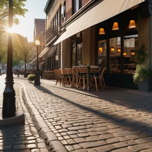
I’ve always found that the true rhythm of a city reveals itself when you stop rushing from one landmark to another. When I’m scouting a new destination, I tend to look past the glossy brochures and focus on the pedestrian friendly urban landscapes that allow a city to breathe. There is a profound difference between a city designed for cars and one designed for people. In the former, you’re a spectator behind glass; in the latter, you are a participant. I find myself drawn to places where the sidewalks are wide enough for a slow stroll and the street corners are anchored by small, unassuming bakeries rather than massive shopping malls.
This connection to the street is why I often obsess over walkability scores for travelers before I even book a flight. It’s not just about convenience; it’s about access to the authentic. When a city prioritizes human-scale movement, you stumble upon the things no guidebook can capture—the scent of roasting coffee drifting from a side alley or the way a community gathers in a small, shaded plaza. These are the moments where the architecture actually serves the culture, turning a simple walk into a way of truly feeling the pulse of a place.
The Rhythm of Transit Oriented Development Cities
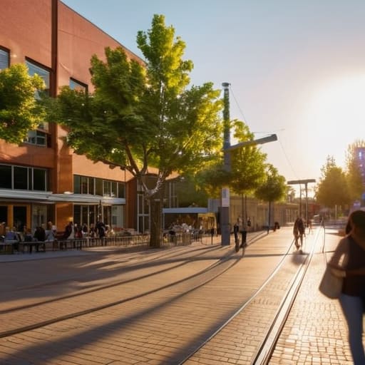
There’s a specific kind of magic in cities designed around the pulse of a train schedule rather than the roar of an engine. When I land in a place where the transit-oriented development cities model actually works, I feel an immediate sense of relief. Instead of wrestling with a rental car or navigating a labyrinth of highway exits, I find myself stepping off a tram and directly into the heart of a neighborhood. It changes how you perceive time; you aren’t just rushing from point A to point B, you are drifting through the layers of the city.
I’ve noticed that these hubs often become the most vibrant culinary ecosystems. Because the public transport infrastructure travel is so seamless, the best little hole-in-the-wall eateries aren’t tucked away in quiet suburbs, but are instead clustered around these transit nodes. You get this beautiful, accidental collision of people—commuters grabbing a quick espresso, students meeting for lunch, and travelers like me, just lingering near the station to soak in the local energy. It turns a simple commute into a sensory experience.
How to Navigate a City Without Losing Its Pulse
- Ditch the ride-share apps for a morning. If you want to understand the true layout of a neighborhood, walk it. It’s in the narrowness of the alleys and the way the sidewalks widen near a bakery that you actually feel the city’s intention.
- Follow the scent of the morning commute. Instead of looking for the “scenic route” on a map, head toward where the locals are congregating for breakfast. Urban planning is most visible in the small, unplanned clusters of people around a single coffee stall or a street corner.
- Use the public transit as a sensory study. Don’t just sit in the back with your headphones on; watch how the stations change as you move from the commercial center to the residential outskirts. The architecture of a subway stop tells you everything you need to know about a city’s priorities.
- Look for the “third places.” A well-planned city isn’t just about getting from point A to B; it’s about the spaces in between. Seek out the public squares, the community gardens, and the little pocket parks that aren’t on any “must-see” list—these are the city’s living rooms.
- Eat where the logistics make sense. I’ve found that the best, most authentic food markets are almost always located at the intersection of major transit lines. When a city plans its movement well, it naturally feeds its people in these high-energy, accessible hubs.
How to Read a City Beyond the Map
Look for the “human scale”—the places where the streets narrow, the sidewalks widen, and the architecture invites you to linger at a cafe rather than just pass through.
Follow the transit lines, but ignore the express routes; the real character of a city is found in the transfer points and the local stations where daily life actually intersects.
Prioritize accessibility over efficiency; a city that is easy to walk through is a city that allows you to stumble upon the small, unscripted culinary gems that define its culture.
## The Architecture of Appetite
“You can learn more about a city’s heartbeat by walking its narrow, car-free lanes than by staring at any skyline; it’s in those walkable stretches that the smell of roasting coffee meets the casual flow of neighbors, proving that good urban design isn’t about moving cars, but about making space for life to happen.”
Anouk Verhoeven
The City as a Living Organism
Ultimately, traveling through the lens of urban design isn’t about studying blueprints or memorizing transit maps; it’s about recognizing how the physical layout of a city dictates the human experience. When we look for pedestrian-friendly zones or seamless transit connections, we aren’t just looking for convenience—we are looking for the places where spontaneous life happens. A well-planned city is one that invites you to linger in a plaza or stumble upon a hidden bakery because the streets were built for people, not just for cars. By understanding these patterns, we move from being mere spectators to truly feeling the pulse of a destination.
As I pack my notebook and prepare for my next flight, I find myself looking at cities differently than I did when I was a student in those quiet museums. I no longer just see buildings; I see the scaffolding that supports a culture’s daily rituals. The next time you find yourself in a new place, I encourage you to step off the beaten path and wander through the neighborhoods that feel most alive. Don’t just visit the landmarks—watch how the streets shape the way people gather, eat, and connect. That is where the real story of a city is always waiting to be told.
Frequently Asked Questions
How can I distinguish between a neighborhood that’s genuinely walkable and one that’s just been "gentrified" for tourists?
Look for the “lived-in” layers. A truly walkable neighborhood has a functional ecosystem—a hardware store, a local grocer, or a repair shop where neighbors actually linger. If every storefront is a curated boutique, a minimalist coffee shop, or a place selling overpriced sourdough, you’re likely in a tourist bubble. Real walkability isn’t just about pretty cobblestones; it’s about whether the streets serve the people who live there, or just the people passing through.
Are there specific cities where the public transit layout actually dictates the local food culture?
It’s a fascinating connection. Think of Tokyo; the intricate web of train lines creates these dense, micro-hubs where tiny izakayas and ramen shops thrive right at the station exits. Or look at Paris, where the Metro’s layout fosters that classic café culture—small, walkable pockets where life happens on the sidewalk. When transit makes a city walkable, the food follows the feet, clustering in those natural, high-traffic pauses in the commute.
How do I find those quiet, tucked-away markets if the city's main transit lines all skip over them?
You have to stop looking at the official transit maps; they’re designed for efficiency, not discovery. Instead, look for where the bus lines end or where the tram tracks get a little worn. I usually find the best spots by spotting a cluster of bicycles near a residential side street or following the scent of roasting spices into a narrow alley. If the neighborhood feels lived-in, that’s where the real kitchen is hiding.
